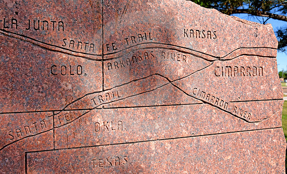
CARVED MAP (Cimarron KS)
A carved stone near fording spots along the Arkansas River shows the Santa Fe Trail splitting at Cimarron KS, along with today's geographic boundaries.
This image sequence will follow the Mountain Route along the river into CO. The Cimarron Route (or Cutoff) appears in a separate section at the end.